Oceanographic data constitute measurement of waves and currents and is need for hydrodynamics modelling for any marine engineering work. Ocean waves can be recorded by wave rider buoys
Waves can be broadly classified as wind waves and swells. Wind waves, also known as sea swells, are those which are under the influence of wind in a generating area. In general, wind waves are highly irregular in appearance and tend to be short-crested. Swells, on the other hand, are wind-generated waves that have travelled out of the region of their generating area. Outside the generating area, no energy is supplied from the wind, and therefore swells gradually decay due to various energy dissipating and transformation processes, but their periods are elongated during propagation.
Swells have regular, long crest appearance, and are less steep than wind waves. A sea state may consist of just wind waves or just swells or may be a combination of both.
The most common approach to describe the wave parameters are significant wave height (Hs), Maximum recorded wave height (Hmax), significant wave period (Ts), peak wave period (Tp) and mean wave period (Tz). This approach to describe the wave in a natural sea state is called wave train method
Another approach to describe the wave by spectral method is by distribution of wave energy with respect to the frequency and direction. This is done by converting time series of the wave record into a form of energy spectral density function, which is called the directional wave spectrum. The most common parameters determined from spectral method are wave height spectrum (Hm0), mean wave direction (µmean), peak wave direction (µpeak), and directional spectrum and times series.
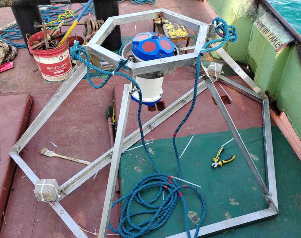
Ocean currents can similarly recorded by current meters deployed on the seabed by a mooring frame with different using various mooring methods like "I" and "U" type. Some current meters also record sampling time and date, seabed depth, temperatures, along with speed and direction of the currents.
Doppler Current Meters can record current speeds and corresponding directions over the entire depth at a particular deployed location. The recorded data is stored in built-in data storage unit. Currents can also be recorded by installing the current meter on a moving platform such as a survey vessel. Such arrangement facilitates access to the current speeds in a wider area rather than at one particular location of deployment.
Meteorological and Oceanographic data can also be transmitted by a radio link (telemetry) and the data can be monitored from a remote work station.
We at GeoMak gather, analyses the lacunae, and establish definitive relationship from various Meteorological and Oceanographic data to give optimum and most meaningful solutions to our client.
Meteorology & Oceanography Studies play an important role for any pre-engineering activities, marine EIA studies and hazard mitigations such as tsunamis, cyclones, navigation and planning for coastal management schemes.
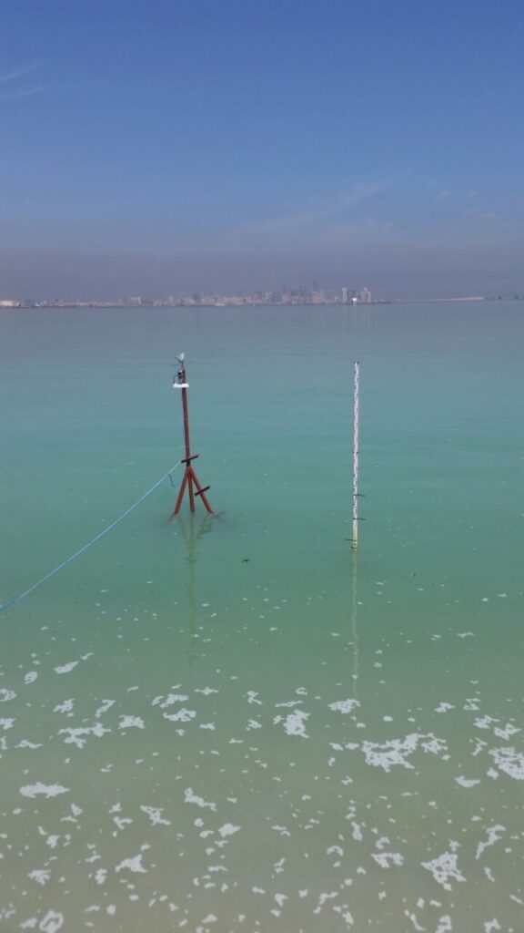
Meteorological data constitute measurement of various parameters such as
- Temperature
- Humidity
- Wind speed
- Air Quality
- Sun Radiation
- UV Index
- Lightening
- Rain fall
- Snow falls etc.
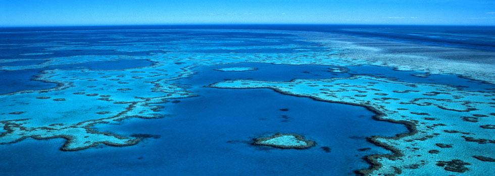
Some of the common work areas where Meteorology and Oceanographic services are needed:
- Coastal Protection and Engineering Port Design and Operation
- Environmental Monitoring
- Oil industry (oil platforms, LNG terminals, etc.)
- Shipping Safety
