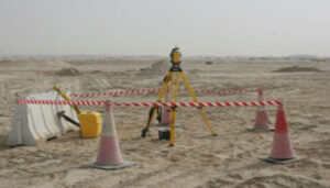

Topographic surveys are performed to determine plannimetric location and/or elevation of surface or subsurface features, facilities, utilities and mapping of existing structures along with levels in particular area. Sometimes control points have to be established in the vicinity of the survey area using locally available benchmark details.
Cadastral survey is one branch of topographic survey which not only requires demarcating existing land boundaries in term of its true geographic location, but also the data on ownership in succession and the present true value of the land. Cadastral surveys are useful for updating land records, and sometimes for compensation settlement, in case the land is acquired for developmental purposes. Based on the field conditions topographic surveys can be properly planned for to provide maximum information and coverage of the area within the least possible time.
Existing structures at the survey site such as building, breakwaters, embankments etc. can be coded accordingly wherever necessary to avoid any ambiguity while preparing survey charts at later stages.
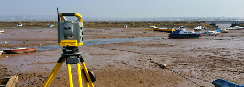
There are many instruments available for carrying out topographic surveys ranging from the old archaic equipment like theodolites, auto levels, and dumpy levels to the most modern and latest equipment like total stations, laser scanners and GPS systems.
Providing following Services:
- Land Surveying & Levelling
- All type of Topographic Surveys
- Corridor Alignments (Horizontal & Vertical) and Profile
- Topographic Survey
- As-Built Survey
- Demarcation of Plots
- Traversing & Level Loop Survey
- Laser Scanning Survey
- Quantity / Volumetric Survey
- Settlement Monitoring
- Earthworks Volumes
- Underground Utilities Survey
- Establishment of Control Station & Bench Marks
- Precise & Differential Leveling
- Survey Consultancy and Check Engineering
- Hiring of Survey Crews
- Aerial Control Mapping
